Winter storm that swept across US leaves frigid temperatures in its wake
The winter solstice is days away, but frigid temperatures are already here for much of the U.S.
Many regions have been blanketed in snow after a winter storm system took more than a week to sweep across a large portion of the country from west to east, bringing deadly tornadoes to the South and blizzard-like conditions in other parts of the country.
The major storm brought between 4 feet and 6 feet of snow to the Sierra Nevada mountain range, with 2 inches to 4 inches of flooding rain on the West Coast.
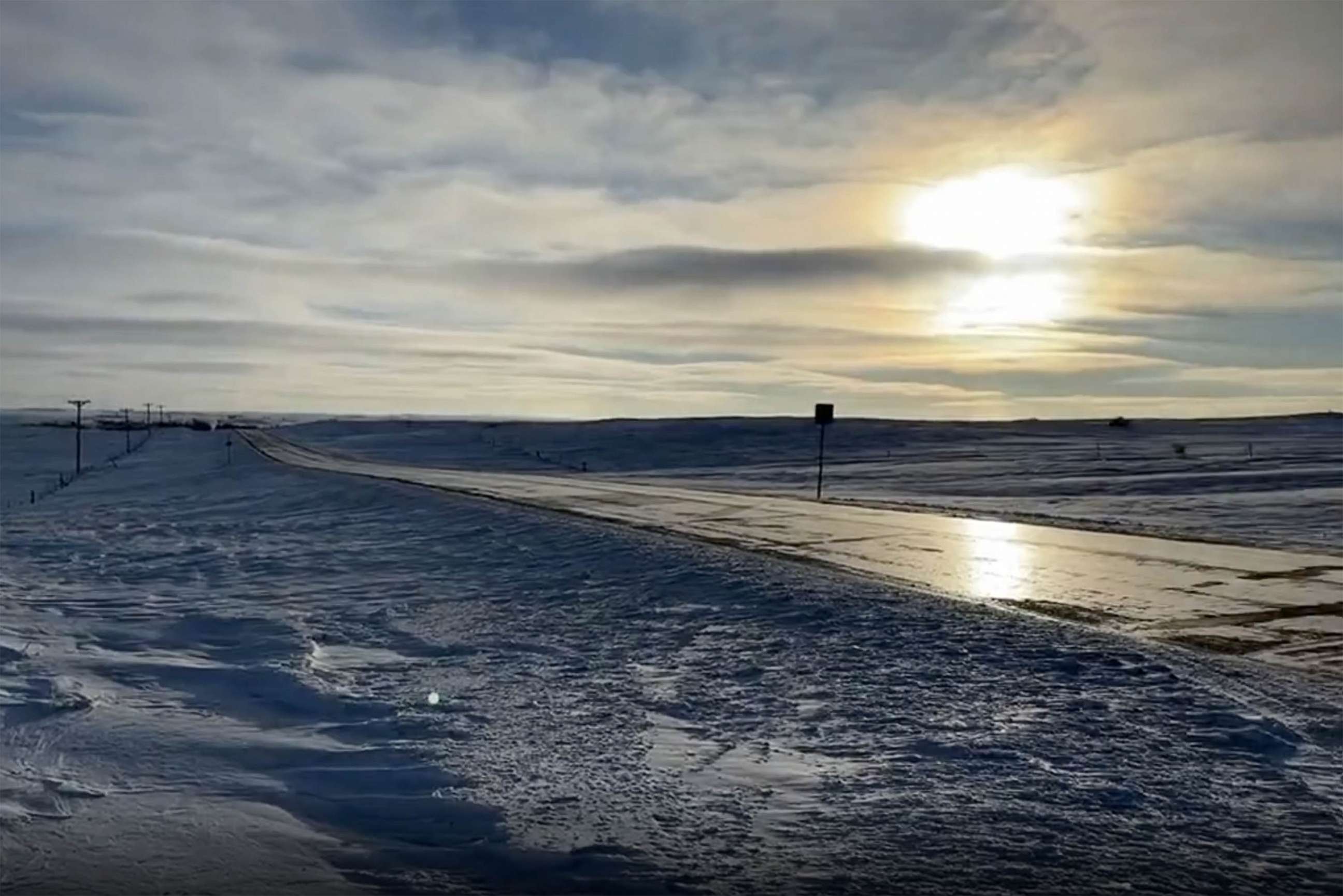
Another 4 feet of snow was dumped in the northern Plains, with whiteout conditions and 40 mph winds, as well as snow drifts measuring up to 8 feet.

The Northeast experienced a nor-easter, with up to 2 feet of snow falling in some regions and up to 2 inches of rain closer to the coast.
Snow was still falling Sunday morning in northern Maine -- totaling up to an additional 6 inches to 12 inches in some spots. The system is expected to have fully exited into the Atlantic Ocean by Sunday night.
In its wake are chilly conditions across much of the U.S. in the week leading up to Christmas.
It is already cold across the northern plains, but temperatures will continue to drop as the week progresses. By Friday, lows across the Dakotas and Minnesota may be as low as -40 Fahrenheit, with wind chills around -50 degrees.

Even as far south as Texas, temperatures may drop below zero by Friday morning, which could strain the state's energy grid.
This type of weather pattern can often produce a strong storm along the East Coast, which is expected toward the end of the week and heading into Christmas Eve.


