Tropical Storm Gaston, 3 more systems form in Atlantic as Hurricane Fiona heads toward Bermuda
Regions along the Atlantic basin likely won't see relief once Hurricane Fiona passes, as four more systems follow in the Category 4 hurricane's wake.
Tropical Storm Gaston is the newest named system to form in the Atlantic. The storm currently carries winds of 65 mph and is located off the Azores, the archipelago in the mid-Atlantic.

The storm will strengthen as it drifts to the east but is forecast to perform a loop-de-loop and head west-northwest, eventually transitioning into a post-storm system.
Meteorologists expect Gaston to remain a "fish storm" because it will only affect marine life, other than some ships that will redirect their routes to avoid the storm.
It is unclear whether the same will apply to three more systems that have formed off the west coast of Africa.
At least one of the systems has a 90% chance of strengthening into a named storm as it heads toward the Caribbean in the coming days.

The next named storm will be Hermine, according to the National Hurricane Center.
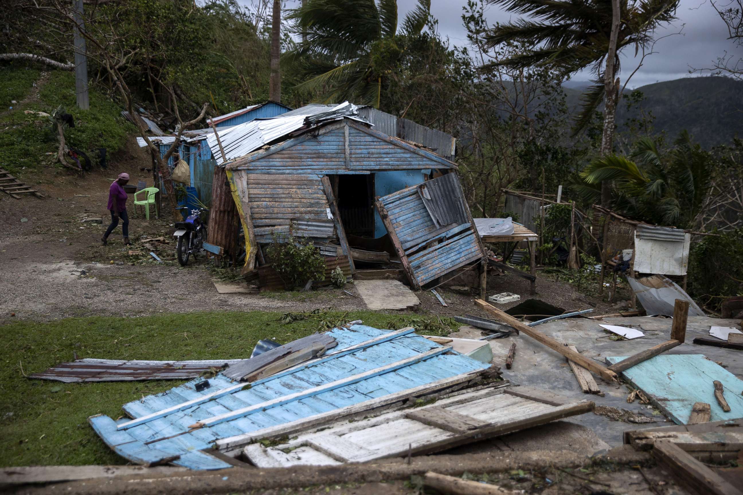
The succession of storms threatening the Caribbean comes after Hurricane Fiona wreaked havoc on islands such as Guadalupe, the Dominican Republic and Puerto Rico -- where the majority of utility customers lost power as a result of the storm. At least two fatalities have been reported.
Fiona is now heading north toward Bermuda as a strong Category 4 storm with winds at 130 mph -- prompting a tropical storm warning and hurricane watch there and an increase in rip current threats along beaches on the East Coast of the U.S. Fiona is not forecast to hit Bermuda directly but is expected to pass just west of the island.
The recent uptick in activity comes after a record quiet stretch in July and August.

The Atlantic hurricane season ends on Nov. 30.


