Tornadoes, severe weather expected in tornado-battered South
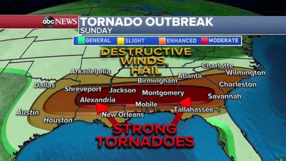
A storm system is organizing rapidly this morning and will bring a tornado and severe weather outbreak across the South Sunday and through Sunday night. Additionally, Flash Flooding will be a major concern with severe thunderstorms in the outbreak and the potential for excessive rainfall rates and possible training storms.

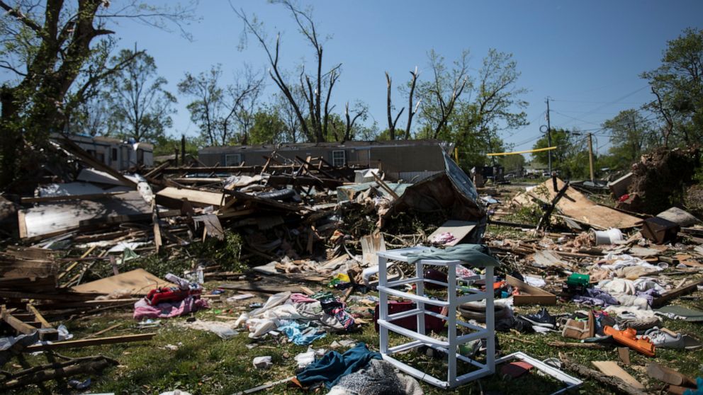
There is moderate risk for severe weather today stretching from eastern Texas to southern Georgia. This is where the greatest chance for strong tornadoes, destructive winds and large hail will be. This very wide moderate risk area contains a large portion of the area that was severely impacted by strong, violent tornadoes one week ago today.
There is an enhanced risk and slight risk as well today from eastern Texas to the Carolinas. While the risk for strong tornadoes in this region is slightly lower, tornadoes, including strong ones, destructive winds, and large hail, could occur.
The outbreak will begin by the middle of Sunday. As the storm system moves east across the southern plains, an associated dry line will initiate convection in eastern Texas. Dry lines are exceptionally good at causing convection when meeting moist air, and high resolution forecast models are showing numerous severe thunderstorms popping up across eastern Texas to northern Louisiana midday. Tornadoes will be possible in this first wave of storms.
Numerous severe storms will be possible across Mississippi, Alabama, and Georgia. Additionally, some convection will be occurring in the Carolinas during this time frame in which severe thunderstorms with all severe hazards will be possible.
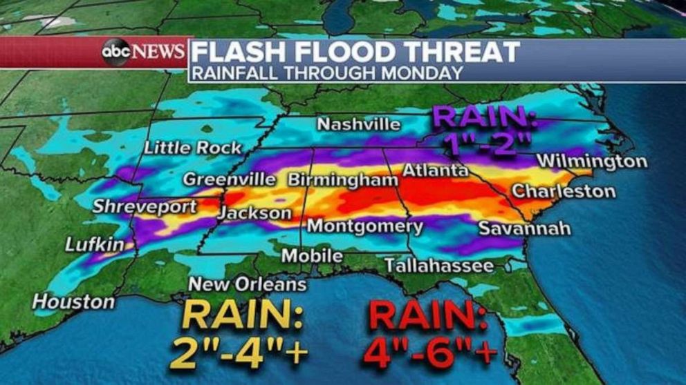
As we approach midnight, numerous ongoing severe storms will ongoing from Louisiana to the Carolinas. Storms will congeal into a quite a mess of possible embedded rain wrapped in nighttime tornadoes, damaging winds, large hail, and torrential downpours. The high resolution rapid refresh model is showing a concerning forecast of torrential rain and training storms over parts of Alabama and especially Georgia.
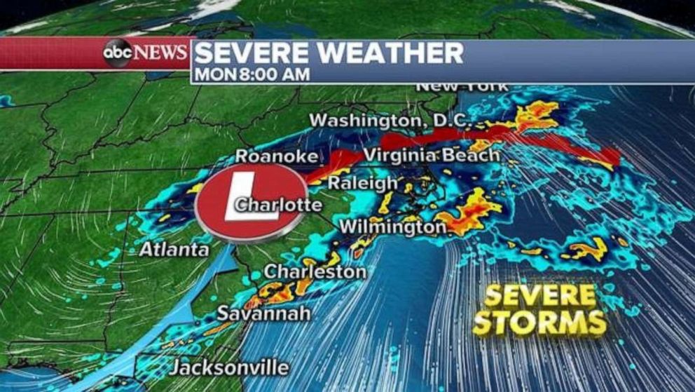
Then by early Monday morning, multiple lines of storms will push into the Carolinas where severe storms capable of more tornadoes, damaging winds, and large hail will be possible.

Finally, by mid-morning on Monday, the storm system will be moving off the East Coast and head out to sea with activity gradually winding down. There is a slight risk issued for the Carolinas for more severe weather. This is mainly to cover any lingering storms that occur on Monday, and do not indicate the potentially more significant round of storms that could occur overnight Sunday into Monday morning.

The storms are expected to bring torrential rain with the bullseye over Alabama and Georgia. Locally, 4 to 6 inches of rain will be possible in some of the storms and flash flooding is expected.
Unfortunately, another system is lurking in the west and will move into the southern Plains by the middle of the week. While it remains too early to pinpoint the location and magnitude of severe weather, there is some concern another round of severe thunderstorms is on the way to parts of the southern U.S. midweek.


