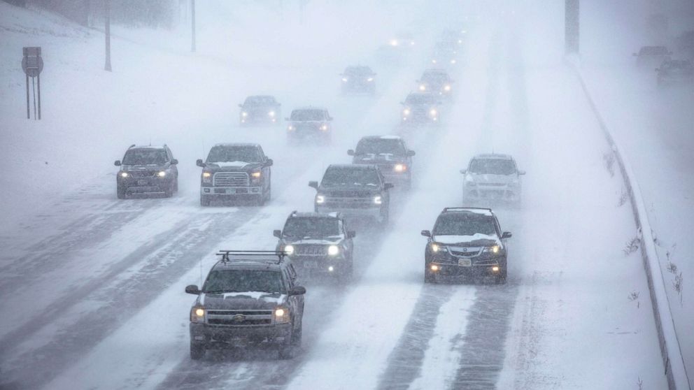
Storm wreaks havoc on Midwest roads, 2nd storm set to pummel Northeast with ice, snow
One winter storm has wreaked havoc on Midwest roadways, and another is gearing up to bring a dangerous wave of ice and snow to the Northeast.
The first storm slammed the Midwest Tuesday, dropping 10 to 30 inches of snow in some areas.
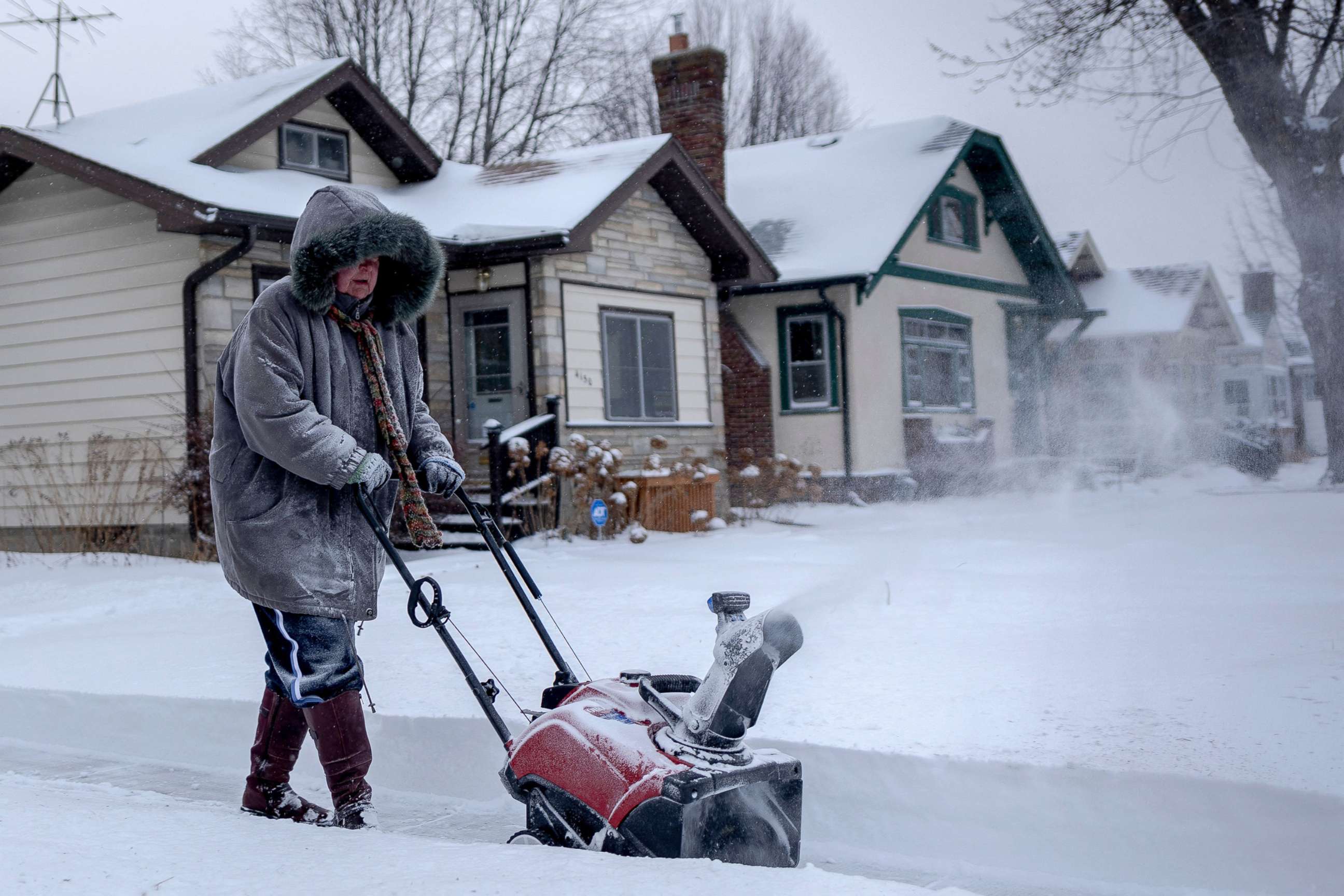
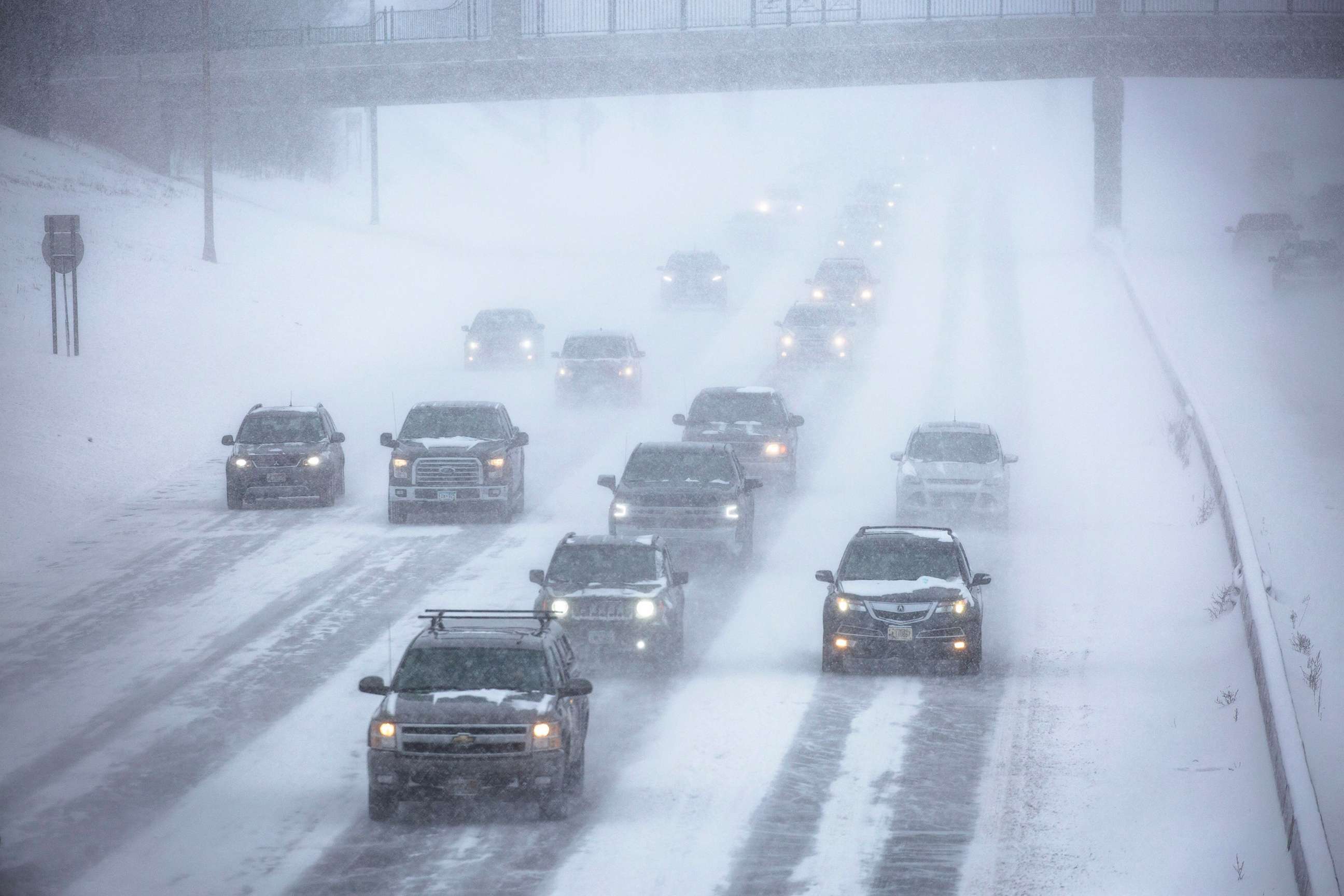
The Minnesota State Patrol reported 373 crashes in the last 24 hours, injuring 34 people.
The second storm is forecast to bring major ice accumulation this week from Texas to New York state.
On Wednesday the storm will create horrendous conditions on roads in Texas, Oklahoma and Arkansas.
A winter storm warning has been issued for Dallas where ice will be the biggest threat. Dallas/Fort Worth International Airport is experiencing the most flight cancellations for any airport on Wednesday, with more than 1,000 canceled flights.
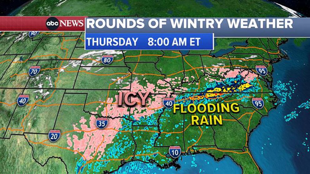
The storm then moves north, bringing rain, freezing rain, sleet and snow to the mid-Atlantic and Northeast.
On Thursday morning an icy mix will bring sleet, snow and freezing rain to the Mid-Atlantic and Washington, D.C., area.
Thursday night, a more significant wave of ice and snow will arrive to the Interstate 95 corridor from D.C. to Philadelphia and into northern New Jersey.
Freezing rain and sleet will fall Thursday night into Friday morning from Philadelphia to New York City to New York's Hudson Valley.
Friday morning's rush hour may be very dangerous in New Jersey, New York City and up to Boston.
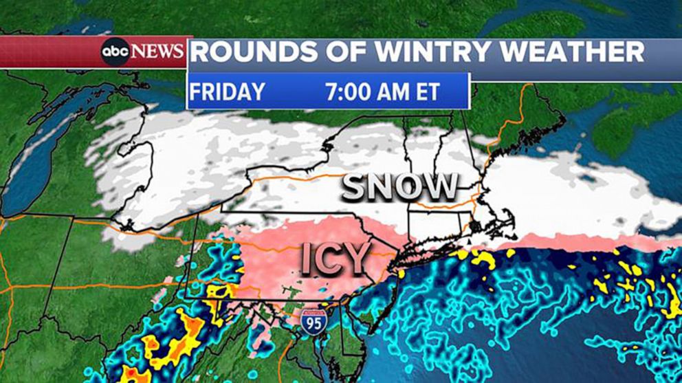
The storm will start to move out Friday afternoon with lingering snow most of the afternoon in New England.
Heavy snow is expected from central New York into Connecticut, Rhode Island and Massachusetts. Some areas could see up to 1 foot of snow, especially from Albany, New York, to Boston.
Northern Pennsylvania, the lower Hudson Valley, Connecticut and northern New Jersey could get 4 to 8 inches of snow.
Ice, sleet and freezing rain will be the biggest threat for Pennsylvania, northern New Jersey and New York City.
ABC News' Mina Kaji contributed to this report.
