Snowstorm Heading for Boston Could Break City's All-time Snow Record
— -- The record-breaking month of February may be coming to a close for Boston, but with a new month comes a new snowstorm.
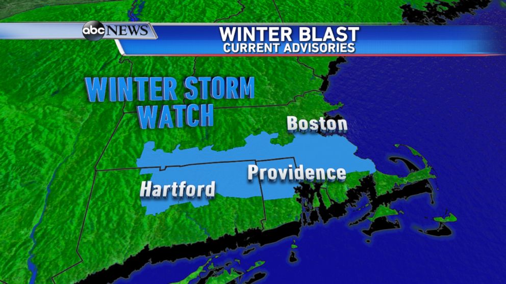
A Winter Storm Watch was issued by the National Weather Service early Saturday morning for the city of Boston and much of southern New England, including Hartford, Connecticut, and Providence, Rhode Island.
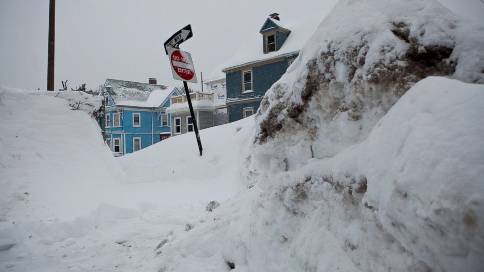
This is in anticipation of another round of snow on the way Sunday evening. Boston has experienced its second snowiest season so far with 102 inches of snow, only 5.6 inches away from the all-time record set during the 1995-1996 season.
Boston has tripled its average snowfall to date so far, and it is also the city's snowiest February on record. The city has also had one of its coldest Februaries on record, with this year likely being Boston's second coldest February.

The ABC Weather Team is currently forecasting 3 to 6 inches of snow for Boston by early Monday morning, which could make this season the city's snowiest.
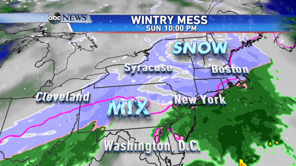
Snow showers will move into the Northeast on Sunday morning and into the early afternoon. However, by Sunday evening, a steadier and heavier snow will overspread the region, reaching Boston closer to sunset.
A wintry mix and even some rain is expected for locations closer to the coast and farther south, including southern New England, New York City, and areas south of Interstate 80.
The city of Boston is forecast to remain all snow throughout the event; therefore, several inches of snow is expected.

The storm will be clearing out of the Northeast by early Monday morning, with snowing likely over before the morning commute throughout the region. Scattered snow showers will linger across northern New England into Monday afternoon with blustery conditions expected from Pennsylvania to Maine.
Even though temperatures will be near or slightly above the freezing mark for most of the Northeast by Monday afternoon, windy conditions will lead to wind chills values below freezing throughout the day.


