Severe weather threatens Midwest, with heat returning to East Coast for week ahead
The summer thunderstorms that rolled across parts of the Northeast and Northern Plains a day earlier died down Sunday across the Northeast. The cold front that sparked the storms ushered in some milder weather to the region, a welcome relief as parts of the Northeast dealt with three to four days of 90-degree heat.
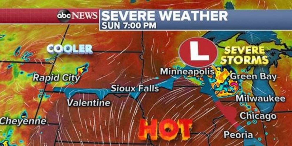
But a new system was moving through the Northern Plains Sunday morning and already bringing some severe storms to Minnesota.
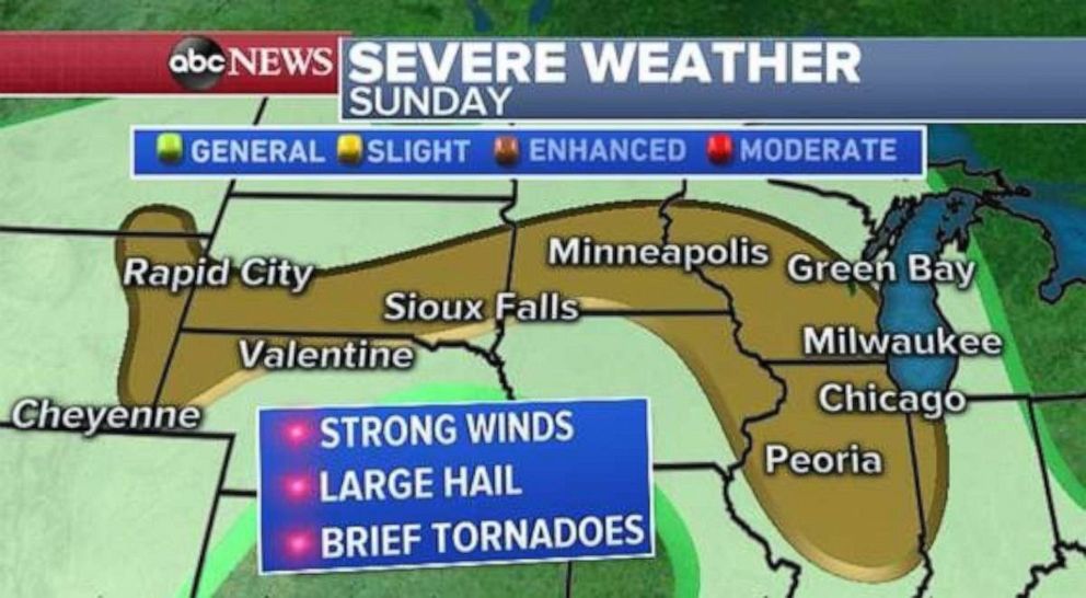
The system will attempt to bring some cooler air down from Canada, which will interact with the heat situated in the Midwest and spark storms across parts of the Plains and the Midwest, from Wyoming to Illinois. There is a slight risk of severe weather for the region, including strong winds, large hail and brief tornadoes.
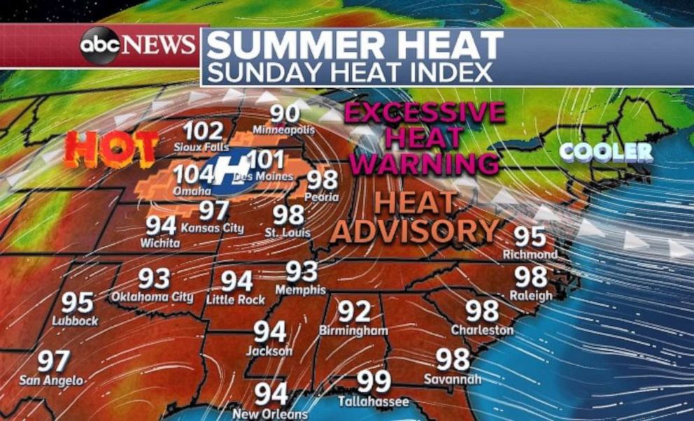
South of this system the heat will continue its grip across parts of the central U.S. with the heat index close to or in excess of 100 degrees from Kansas to Minnesota. Heat advisories and heat warnings are still in effect for parts of the region as the heat reaches near-dangerous levels.
Meanwhile, parts of the Northeast have cooled nearly 10 to 15 degrees.
Another round of oppressive heat is already in the forecast this week for the East Coast with oppressive heat index values on the way for the parts of the Southeast by midweek. Heat index values could approaching 105 to 110 degrees in parts of the region as early as Wednesday.
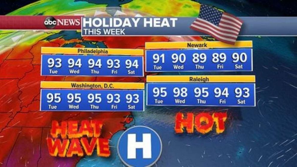
Major cities from North Carolina to New Jersey will see a long stretch of temperatures at or above 90 degrees, which means another heat wave is on the way for cities like Philadelphia and Washington, D.C. This round of heat looks to have a touch more humidity as well, therefore the heat index values will be a little higher. The values could be 100 degrees in parts of the Washington, D.C., to Philadelphia region.
Regardless of the exact number, a hot, humid, sunny and stormy weather pattern is on the way to the East Coast for the Fourth of July.
