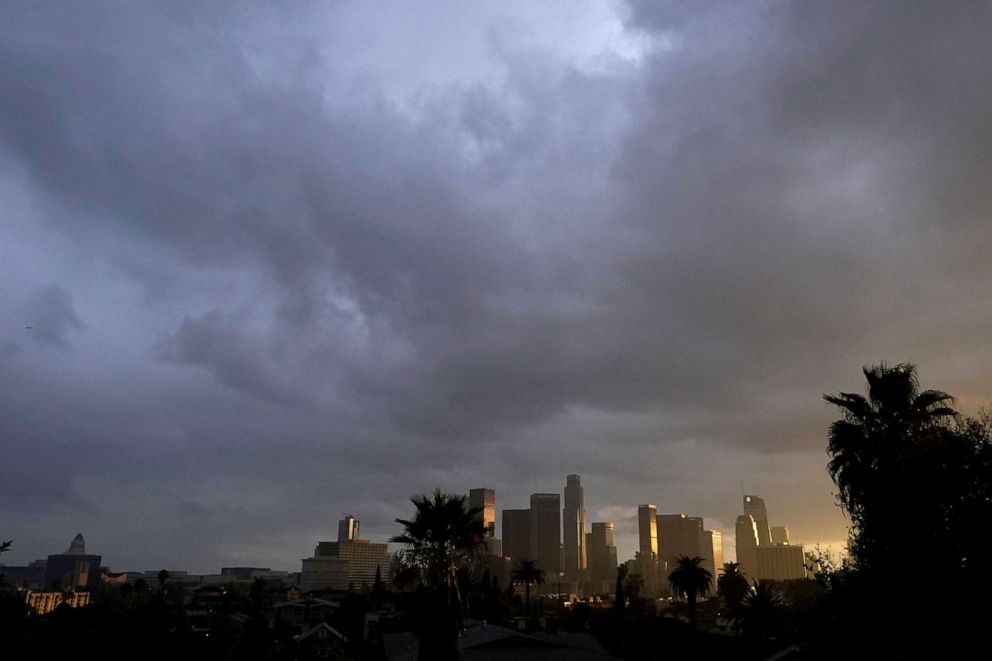
Major storm system moving through the West with strong winds, heavy rain and snow
A major storm system is moving through the West, and brought strong winds, heavy rainfall and whiteout snow conditions Monday night into Tuesday. The storm is expected to travel East starting Wednesday.
Parts of the California coast saw more than 9 inches of rain on Monday, and feet of snow in the mountains where whiteout weather conditions shutdown interstate 80 from California to Nevada overnight.
California was hit with gusty winds blowing at speeds of 50 to 80 miles per hour producing damage.

Record rainfall was reported in the San Francisco Airport. The area received more than 3 inches of rain, which caused flooding in some parts of the bay area.
Rockslides and mudslides were reported in northern California due to the rain.
The storm is heading through southern California on Tuesday with heavy rain, mudslide and debris flow threat.
There is a flash-flood watch in areas north of Los Angeles, where mudslide and debris flow could occur. Southern California is expected to see 1 to 3 inches of rain in a short period of time.

California and the Rocky Mountains could see between 1 to 5 more feet of snow in the next 48 hours.
As of Tuesday morning, 21 states are on alert for wind, snow and flooding.
The storm is headed to the mid-South and Ohio Valley delivering heavy rain and severe storms Wednesday, Thursday and Friday.
On Wednesday, severe storms could happen as far north as Iowa and Minnesota with damaging winds and a tornado threat.
Thursday, the storm system will move into the Ohio Valley and mid-South. Strong to possibly severe storms and heavy rain are possible from Kentucky to Tennessee, Arkansas and northern Texas Thursday evening. The areas could see between 1 to 3 inches of rain.

The area is still getting cleaned up from damage caused by last weekend’s 44 deadly tornadoes which ripped through nine states, killing 88 people.


