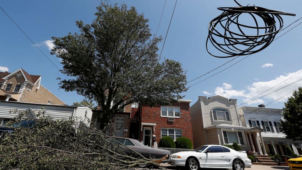
After Isaias rocks East Coast, more storms on the way
Along the East Coast, where millions are still without power because of Tropical Storm Isaias, more rain is expected in the coming days.
Nearly 1.6 million customers across New Jersey, New York and Connecticut have been affected by power outages.
The National Oceanic and Atmospheric Administration (NOAA) said Thursday that it expects the months ahead to be some of the "most active" in decades.
The agency utilized its Accumulated Cyclone Energy (ACE) index, which measures the combined intensity and duration of all named storms during the season.
"This year, we expect more, stronger, and longer-lived storms than average, and our predicted ACE range extends well above NOAA’s threshold for an extremely active season," Gerry Bell, lead seasonal hurricane forecaster at NOAA’s Climate Prediction Center, said in a statement.
The agency said this is one of the most active seasonal forecasts that NOAA has produced in its 22-year history of hurricane outlooks.
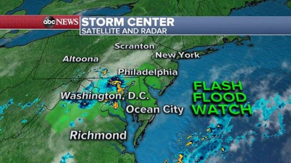
NOAA's updated outlook covers the entire six-month hurricane season and calls for 19 to 25 named storms, with winds of 39 MPH, and of those seven to 11 of those will become hurricanes with winds of 74 MPH or greater. That outlook also predicts three to six hurricanes with winds of 111 MPH or greater.
Hurricane season ends Nov. 30.
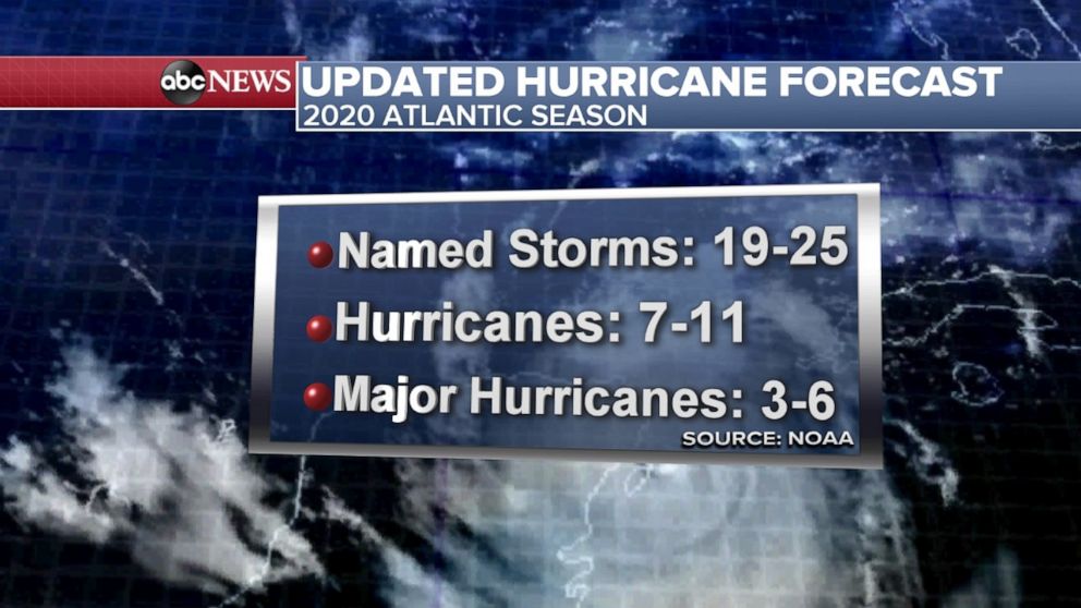
On Thursday, storms were moving through parts Maryland and Virginia and headed to Delaware, Pennsylvania and New Jersey.
A new flash flood watch has been issued for the region. In eastern Pennsylvania, rivers are just beginning to recede from elevated levels due to the excessive rainfall. Any additional rain could cause flash flooding.
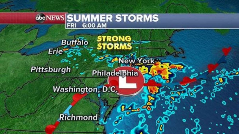
High-resolution models are showing that some of the storms will likely make it into the New York City metro area by Friday, where localized flooding will be possible.
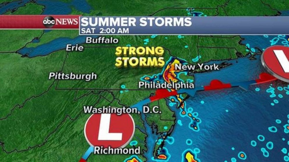
Then it appears another wave of strong storms will arrive early Saturday morning in parts of New Jersey, eastern Pennsylvania and perhaps New York City.
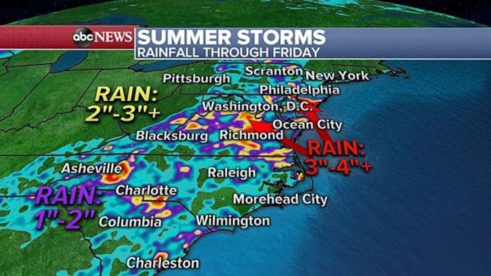
These storms could bring 3 to 4 inches of rain to parts of the Mid-Atlantic, especially northern Virginia to southern New Jersey, which means the flooding threat could last for the next few days.
Out west, a fire threat remains from Arizona to Montana due to dry and gusty winds. In Nevada, the dry air and lightning pose a risk for fires.
