2 dead as Zeta batters South, now a tropical storm
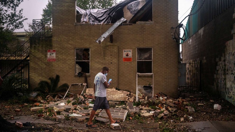
At least two fatalities have been reported so far after fast-moving Hurricane Zeta, a Category 2 storm, made landfall on the southeastern coast of Louisiana.
The storm landed near Cocodrie, Louisiana, around 5:15 p.m. with wind speeds reaching 110 mph. This is the strongest hurricane landfall in the continental U.S. this late in the season in over 100 years, and the storm could potentially delivering a storm surge of up to 11 feet.
Zeta, as of 2 a.m. Thursday, is now a tropical storm as it weakens over central Alabama. The hurricane and storm surge warnings for the Mississippi coast and Florida panhandle have been discontinued.
In New Orleans, where fierce winds ripped through the city Wednesday night, New Orleans EMS reported an electrocution fatality in the 8200 block of Palm Street shortly before 8 p.m. The agency said it was tracking many down power lines and urged people to stay inside. New Orleans police also asked residents to shelter in place due to downed power lines, trees and tree branches.
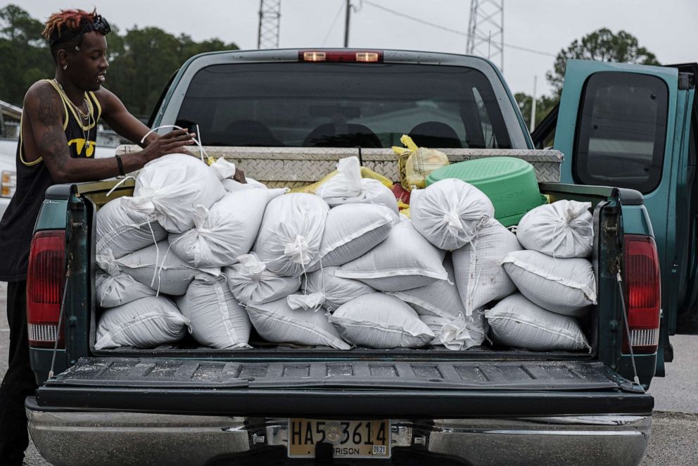
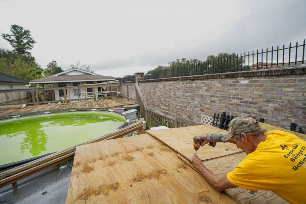
The storm disrupted power for more than 542,000 customers throughout the southeast section of Louisiana as of 9 p.m. local time. As a result of the power loss, Lafourche Parish announced a curfew went into effect at 7 p.m. and was slated to be lifted at 6 a.m. Thursday.
Mississippi reported more than 167,000 customers had lost power because of the storm, while over 105,000 had lost power in Alabama.
At least one person was reported dead by Biloxi, Mississippi, Police Chief John Miller, who told ABC News affiliate WLOZ that there was a storm-related fatality.
"I know that we have at least one death related to the storm right now, I do not have any details to give you on that other than we know that one person has perished because of the storm," Miller told the station.
In Jefferson Parish, Zeta breached three major levees in Grand Isle, the town said, also sharing a photo of the damage.
Waveland, Mississippi, saw a gust of 104 mph.
Tropical storm watches were issued from Mississippi to Alabama to the Florida Panhandle, and even parts of the western Carolinas, including Greenville and Asheville.
The forecast
A major threat will be a storm surge of up to 9 feet in Alabama and Mississippi.
Gulfport and Biloxi could see wind gusts topping 90 mph.
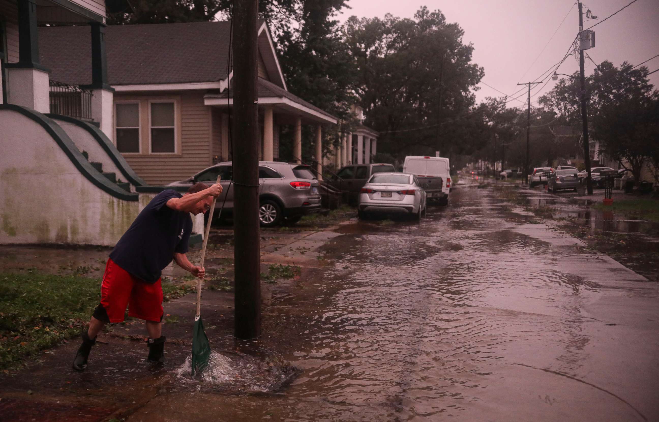
Powerful wind gusts could also reach 90 mph in New Orleans. The city canceled all public school classes for Wednesday.
New Orleans Regional Transit Authority is suspending all bus, streetcar and ferry services beginning at noon.
Rain won't be as big of a threat. Some areas could see up to 6 inches of rainfall and possible flooding.
Tornadoes are possible in Louisiana, Mississippi, Alabama and Florida.
Louisiana has been especially hard-hit this hurricane season. Zeta is the third hurricane to make landfall in Louisiana in two months.
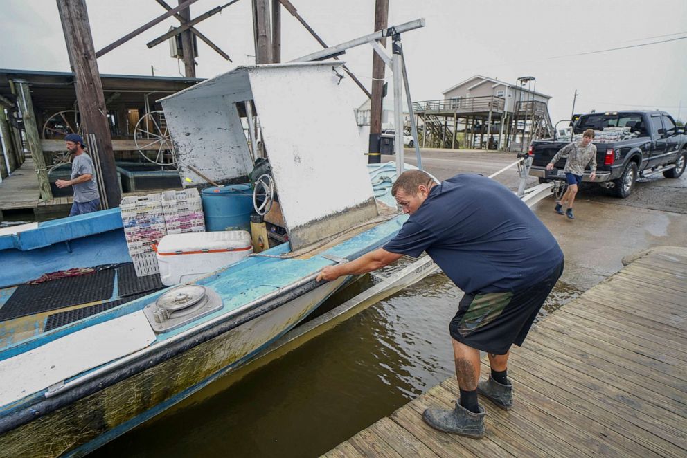
Because Zeta is moving so quickly, heavy rain and powerful wind gusts will extend well inland across the Southeast, which could cause power outages overnight. Wind gusts Thursday morning could top 50 mph from Atlanta to the western Carolinas.
Zeta's remnants will then slam the Northeast with rain and snow Thursday into Friday. The first accumulating, widespread snowfall of the season is possible for Connecticut, Rhode Island, Massachusetts and New York's Hudson Valley.
The last time a hurricane made landfall in the U.S. so late in the calendar year was Hurricane Kate in November 1985.
Hurricane Zeta is the 27th named storm of the season. In 2005, there were 28.
