Flooding threat continues in Florida, new winter storm moving through Central US
After bringing a foot and a half of rain to southern Florida, Eta has now moved in the southern Gulf of Mexico near Cuba and Mexico’s Yucatan Peninsula.
Even though Eta is relatively far from Florida it is still a tropical storm with winds of 50 mph and some of the rain bands that are rotating around Eta keep bringing rain to Florida.
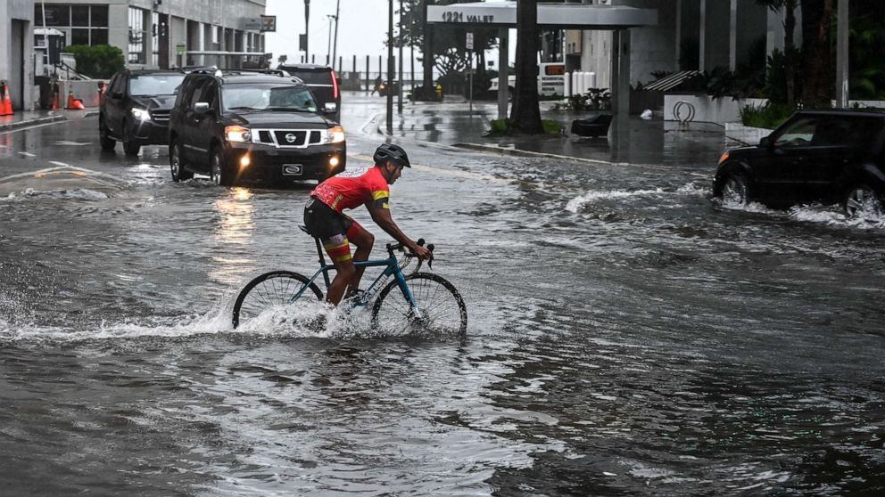
With ground very saturated in Florida, any rain could produce flooding so a flood watch will continue there for the next 36 hours.
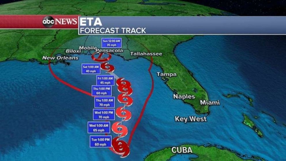
Over the next few days, Eta is not expected to do much other than meander in the Gulf of Mexico or slowly move north.
It is expected to weaken by the weekend as it approaches the Gulf Coast and it could turn into a tropical depression.

Southern Florida is not expected to see much rain in the next few days but because the ground is very saturated and can’t take any more water, any rainfall could bring flooding.
At this moment, an additional 1 to 2 inches of rain for southern Florida could occur over the next few days which could cause some additional flooding.
As some of the Eta’s moisture moves north and joins with a cold front, heavy rain is expected to spread well north from Florida’s panhandle to Maryland and some areas could see 3 to as much as 6 inches of rain.
Additionally, it turns out that we are not done with 2020 Atlantic Hurricane Season.
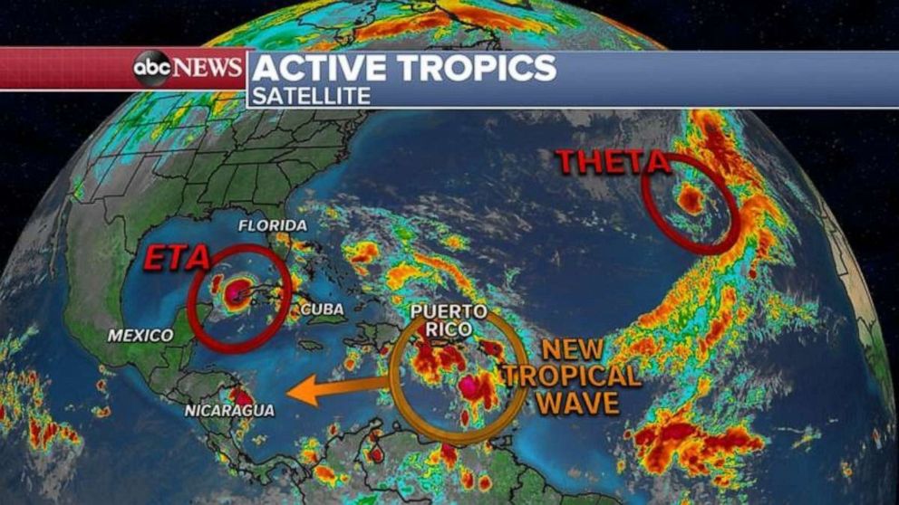
We have a new named storm in the Atlantic called Theta, thankfully not affecting the U.S.
Theta is now the 29th named storm making 2020 the year with the most named storms in recorded history, besting the historic year of 2005.
Elsewhere, there is a tropical wave that could become our next Tropical Depression or a storm and it would be called Iota, if it gets that far.

Meanwhile, in the Midwest a new winter storm is moving out of the Rockies and moving into the Plains and western Great Lakes.
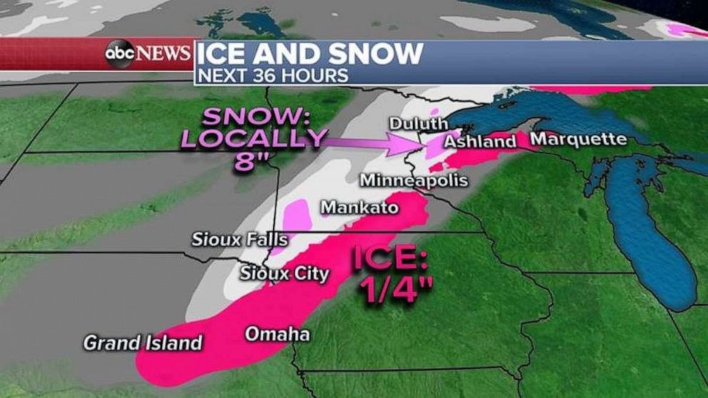
Eight states from Colorado to Michigan are under ice and snow alerts, including an Ice Storm Warning in Nebraska and Iowa and a Winter Storm Warning in Wisconsin.
Locally, 8 inches of snow is expected for Minnesota and Wisconsin in the next 24 to 36 hours.
Ice accumulation will be the highest in Nebraska and Iowa where locally a quarter inch glaze of ice could cover roads and trees.


