Flights Grounded, Federal Offices Closed as Storm Bears Down
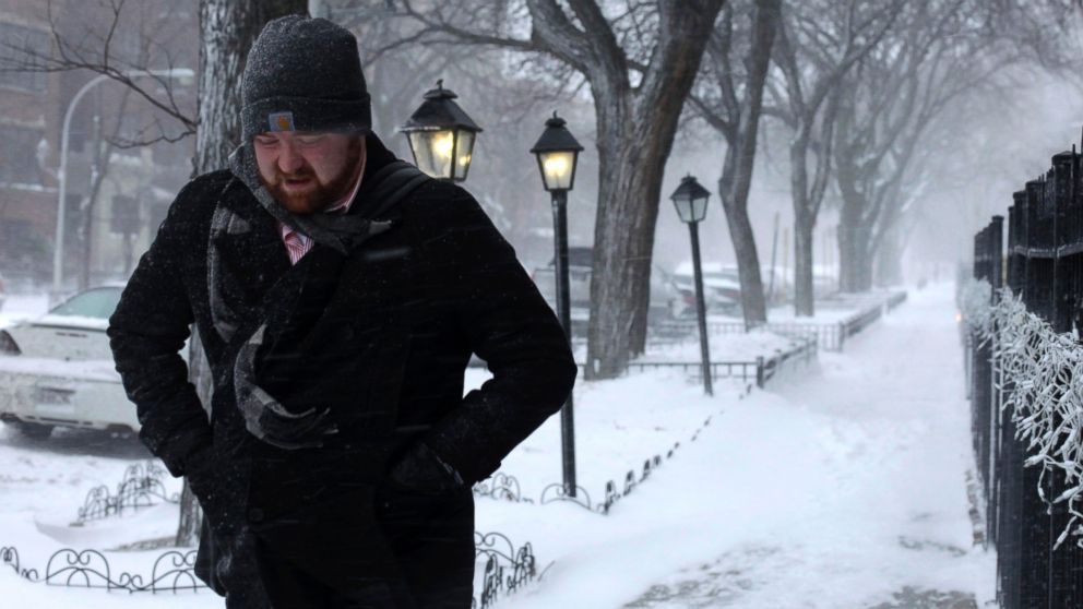
Jan. 21, 2014— -- The bitter blast is returning - and this time, it will have a companion: snow, which started to fall across the Midwest Tuesday morning and will spread to the Northeast.
Meteorologists expect the storm system to reemerge off the coast of Virginia, blowing into a significant coastal storm for the East Coast - bringing heavy snowfall from Virginia to New England.
The snow should start falling in most areas between 10 a.m. and noon. Major cities from Richmond, Va., north to Portland, Maine, are forecast to get at least half a foot of snow, with snowfall totals topping a foot in some areas. Areas close to the coastline should expect near-blizzard conditions Tuesday afternoon into the evening.
READ MORE: THE POLAR VORTEX RETURNS, SORT OF
That storm threat caused the federal government to close offices in the Washington, D.C. area for today. Additionally, more than 2,200 U.S. flights were cancelled because of the storm by 8:00 a.m., according to FlightAware.com.
The worst conditions are expected Tuesday night, when temperatures could fall into the single digits.
Storm relief won't come soon enough, with Arctic air bringing frigid cold across a bulk of the United States in three waves. Temperatures in the Midwest are expected to dip into the single digits and below zero, while the East Coast should see highs in the teens and low 20s.
The chill shouldn't be as intense as the sub-zero "polar vortex" from three weeks ago, but temperatures will still be much colder than usual. And the snow isn't going to help matters.
ABC News' Max Golembo and The Associated Press contributed to this report.


