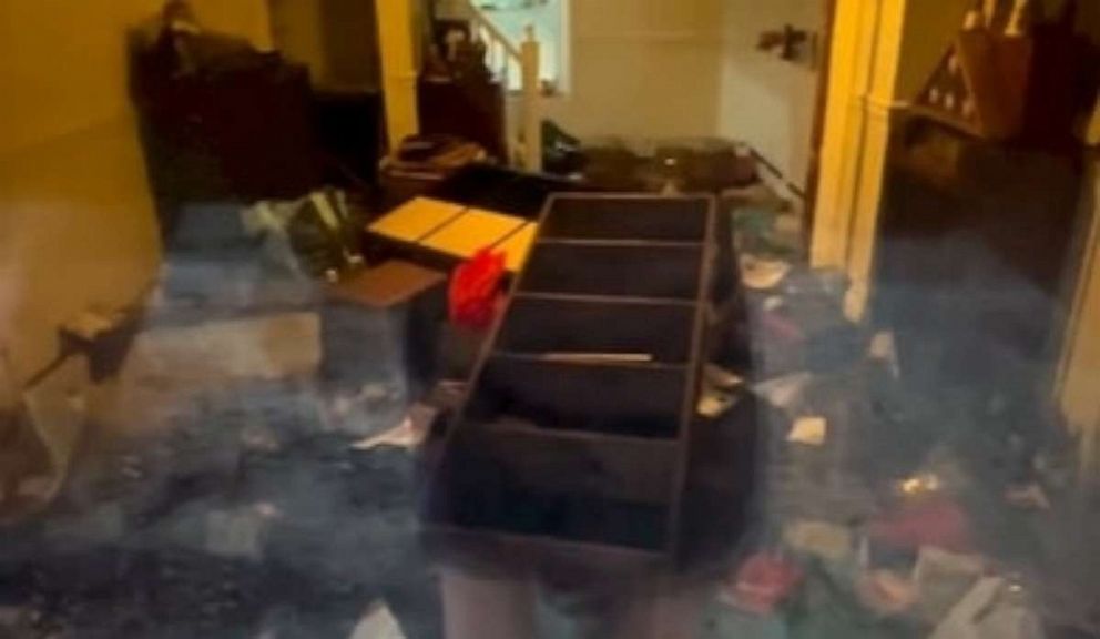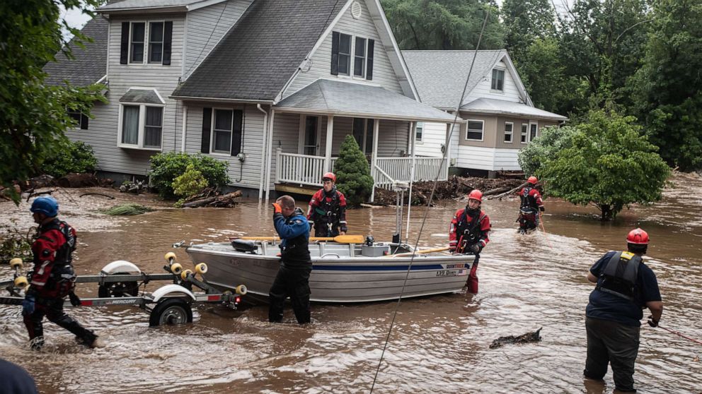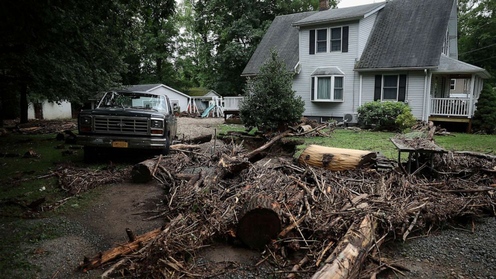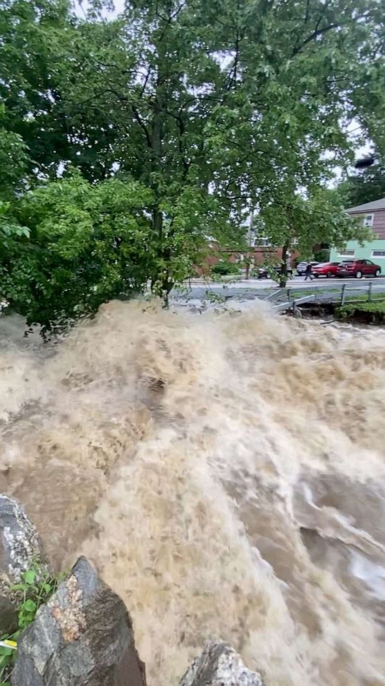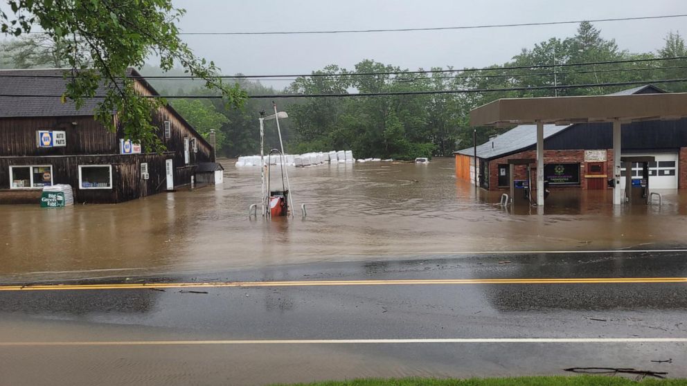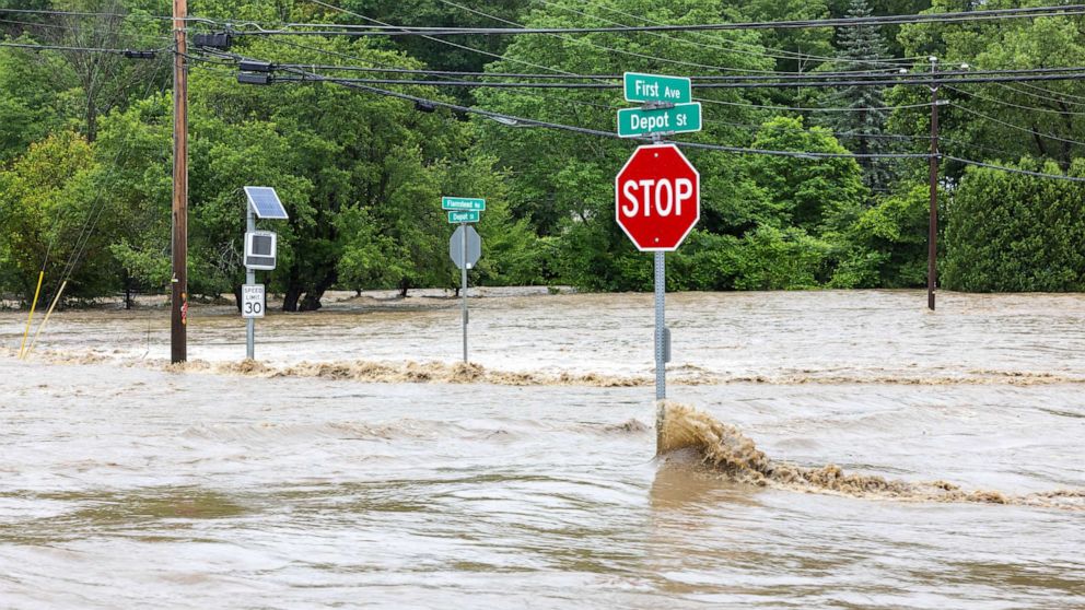
A few moments after Idlewild Creek began to rise on Sunday, the first wave of murky water washed into the ground floor of Kristine Schmidt's blue-and-white house.
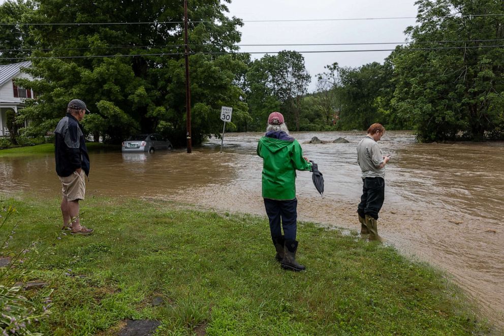
Moments later, she saw her neighbors swept away in their SUV, Schmidt told ABC News on Monday. Fire trucks arrived and pulled their car out of the creek, she said.
As the floodwater receded from her home in Cornwall, New York, it left a trail of a thick mud in its wake. Outside her home, potted plants had been knocked over and grass had been uprooted. Inside, amid the ruins of her living room and kitchen, a bookshelf and fridge lay on their sides.
"We're all heartbroken," she said.
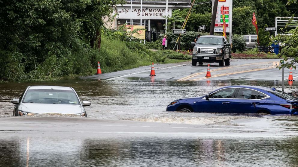
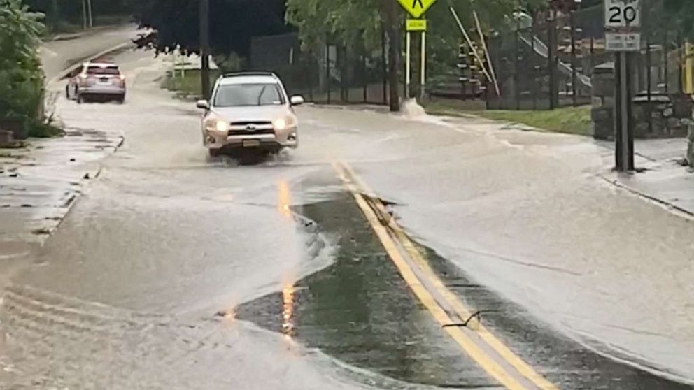
The flooding in Cornwall, in Orange County, came as heavy rain drenched much of the Mid-Atlantic and Northeast on Sunday, prompting flash flood alerts in parts of New York.
More than 8 inches of rain fell in just hours in some areas in the Hudson Valley and at least one person was killed in the storm in Orange County, New York.
Radar estimates 8-12” in parts of the northeast — 1 in 1000 year event for some but REMINDER that means it’s a 0.1% chance of having this type of rain in a given year. Certainly rare and destructive. #flooding @SamWnek @KentonGewecke pic.twitter.com/YAntfIeF3h
— Ginger Zee (@Ginger_Zee) July 10, 2023
Areas in New York counties including Orange, Putnam, Rockland and Westchester were under flash flood warnings into the early hours of Monday.
"Last night was complete chaos," Orange County Executive Steve Neuhaus told ABC News' "Good Morning America" on Monday.
Yesterday's storms, with heavy rain and flash flooding, washed out tracks along the Hudson Line north of Croton-Harmon and on the Wassaic Branch.
— Metro-North Railroad (@MetroNorth) July 10, 2023
Our crews are continuing to evaluate the damage and are working to clear the tracks.
Please stay safe and monitor… pic.twitter.com/jpB3ctEMOy
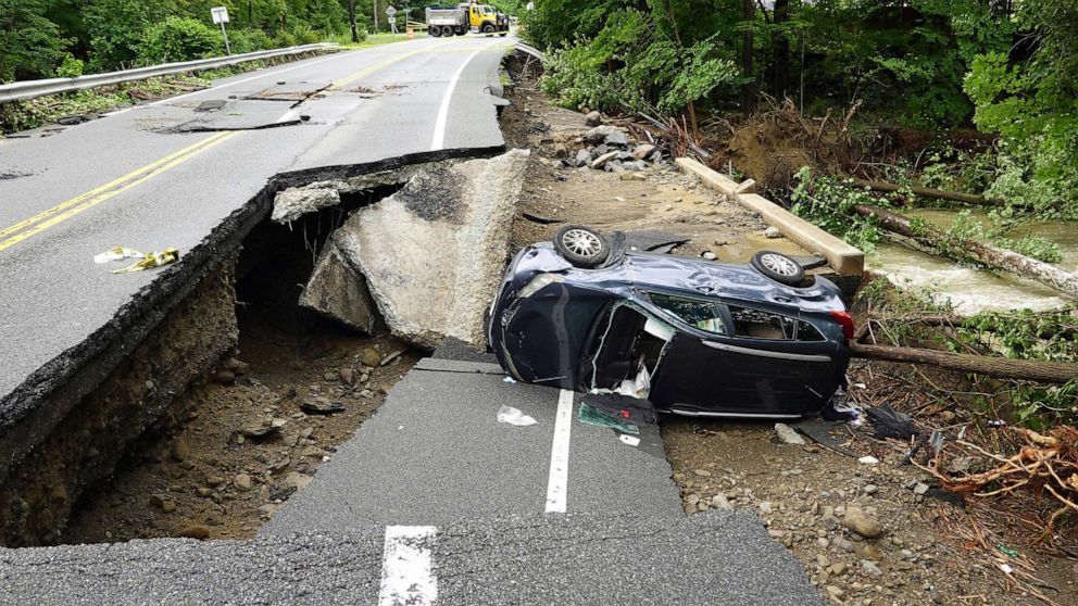
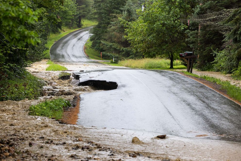
Members of his staff were working to contact people throughout the county on Monday morning, he said, adding that roads and bridges were washed out by the storm. His staff was attempting to reopen "major arteries" throughout the area, he said.
Everyone who had reported an issue appeared to have been accounted for, "but there are some people who could have been swept away," Neuhaus said.
There's significant damage to homes, businesses and infrastructure in Orange County, New York Gov. Kathy Hochul said.
In an update Monday night, Neuhaus estimated damages in the Highland Falls area to be in the tens of millions of dollars and said a boil water warning was issued in the affected areas.
"Orange County experienced a 1-in-1,000-year weather event last night," the governor tweeted Monday. "The rain has subsided, but the crisis is not over."
Hochul warned, "New York State is facing simultaneous weather emergencies: Southern New York is recovering from last night's damage. Heavy rain is impacting the Mid-Hudson, Capital Region, & North Country. A Flood Watch is in effect for most of Eastern New York through Tuesday night."
"As ongoing extreme weather conditions continue in Northeast New York, the Lake Champlain region is at greatest risk for flash flooding," Hochul said. "As we’ve seen, conditions can change in an instant. New Yorkers should take this seriously & prepare."
The rain is continuing to push north on Monday, with flooding expected from upstate New York to Vermont to New Hampshire to Maine.
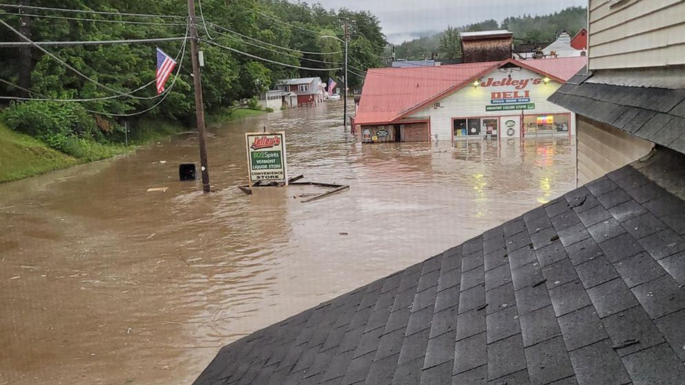
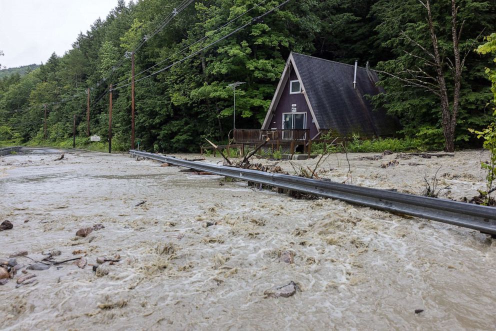
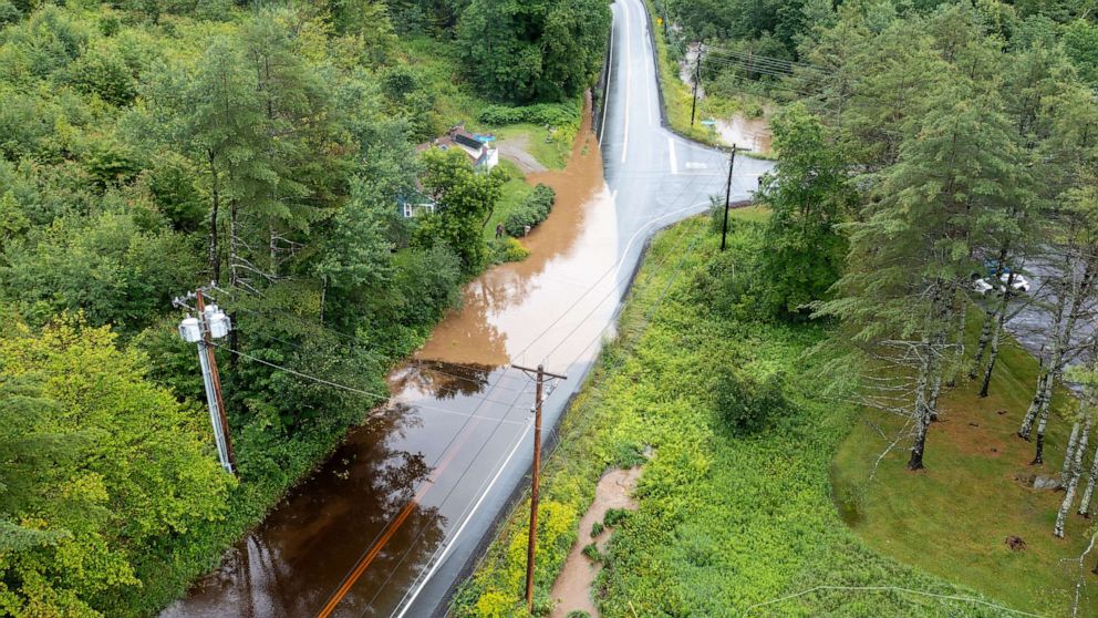
In Vermont, where a state of emergency is in effect, rare excessive rainfall and life-threatening flash flooding is expected.
In a press release Tuesday night, the Vermont Department of Public Safety and Emergency Management said swift water rescue teams have performed more than 50 rescues, "primarily in the towns of Londonderry, Weston, Bridgewater, Andover, Ludlow and Middlesex." Officials urged residents to be vigilant, as "rivers are expected to crest overnight at flood levels."
Two dams in the very rural areas of Jamaica and Townshend will "release large quantities of water over their spillways" overnight, the New England District of the Army Corps of Engineers said in a statement Tuesday night.
Serious, life-threatening flooding is occurring today across much of Vermont. Emergency crews have conducted rescues in multiple communities. About two dozen state roads are closed as of 10AM. Flash flood warnings are in effect from the Massachusetts line to the Canadian border. pic.twitter.com/09ryZ1N7bR
— Vermont State Police (@VTStatePolice) July 10, 2023
Vermont Gov. Phil Scott said the state has not seen flooding like this since Hurricane Irene in 2011, and in some places, the flooding will surpass that.
"Flash flood warnings are in effect from the Massachusetts line to the Canadian border," Vermont State Police said. "If you can, please stay home today. However, if floodwaters are approaching your home, leave immediately."
Three to six inches of rain is expected for Vermont.
This is the first time a "high risk" has been issued for the Burlington, Vermont, area. The ground in this area is already very saturated due to receiving 300% of its normal rainfall over the last two weeks, so flooding could happen very easily.
Mike Cannon, director of the Vermont Urban Search and Rescue team, told "ABC News Live" on Monday, "This has been constant since 5:00 yesterday afternoon, and the rain has not let up."
Rescues are ongoing, he said, noting that crews are still unable to access about six communities due to the water.
FEMA Administrator Deanne Criswell said the agency is closely watching the situation.
ABC News' Alexandra Faul, Darren Reynolds and Matt Foster contributed to this report.
