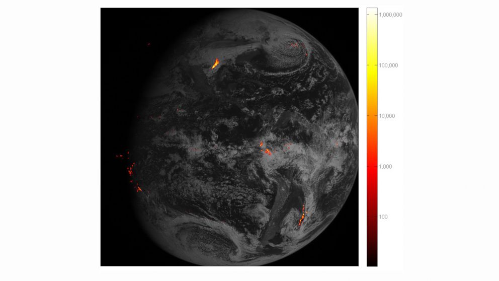


A new lightning tracker that is hovering above the Western hemisphere in geostationary orbit has sent back its first images of lightning storms, NASA announced today.
The new instrument on a weather satellite called GOES-16 will give forecasters an unprecedented view of lightning strikes, and will allow them to give better warnings to the public when a storm is strengthening, scientists said.
The images released today show lightning flashes over the course of an hour on Feb. 14 around the Gulf of Mexico and in South America.
The National Oceanic and Atmospheric Administration (NOAA), which runs the satellite that NASA parked 22,300 miles above Earth in December 2016, also released a video today showing ghostly lightning strikes along the southeast coast of Texas captured on Feb. 14.
These images show “data never before available to forecasters,” NOAA said in a statement today.
Earth has a new continent called 'Zealandia' NASA Seeks Robotic Spacecraft to Help It Move an AsteroidThe satellite's new capabilities from the Geostationary Lightning Mapper (GLM) mean forecasters can predict severe weather more accurately. in this in turn could help disaster preparedness and response to tornadoes and hurricanes, according to NOAA.
"During heavy rain, [the satellite] data will show when thunderstorms are stalled or if they are gathering strength,” according to NOAA. “When combined with radar and other satellite data, GLM data may help forecasters anticipate severe weather and issue flood and flash flood warnings sooner.”