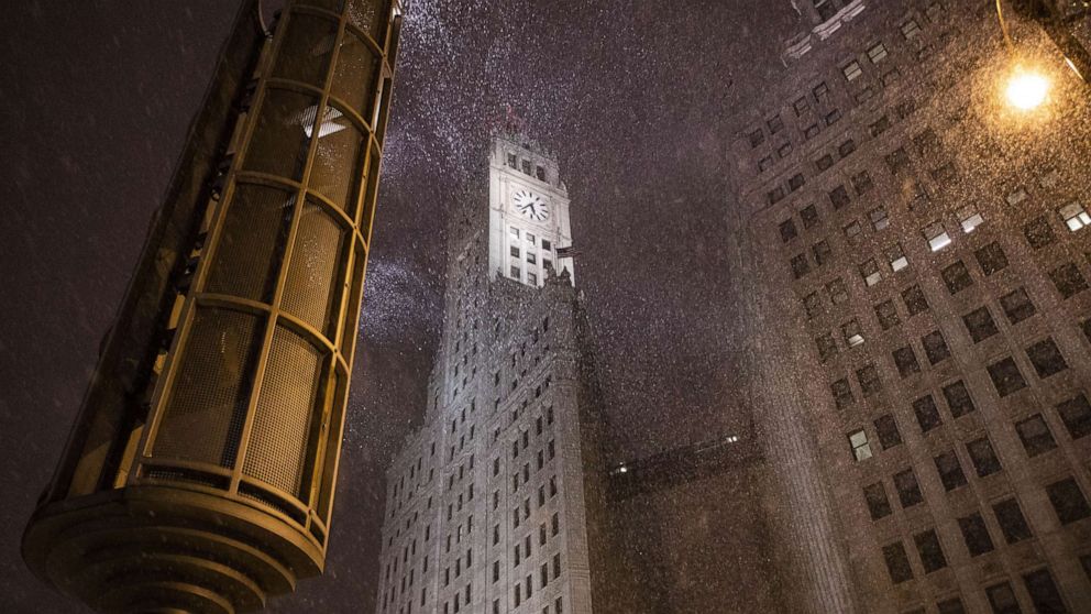


A major New Year's storm is impacting millions of Americans, bringing ice, heavy snow and torrential rain -- and possibly thunderstorms and tornadoes.
Here's the latest forecast:
Heavy snow and whiteout conditions are hitting parts of west Texas, disrupting travel.
The biggest snow total so far is in Alpine, Texas, which saw 11.5 inches of snow.
MORE: How to stay safe in the cold MORE: Winter storms: How to prepare and everything else you need to knowTorrential rain and flash flooding are possible in Texas. Flash flood watches are in effect from Houston to Little Rock, Arkansas.
A tornado watch is also in effect in the Texas cities of Houston, Galveston and Beaumont.
The storm will continue to sweep across Texas and the western Gulf Coast as the country rings in the new year on Thursday night, bringing snow, icy conditions and heavy rain.
Severe thunderstorms and tornadoes are possible overnight in southern Louisiana and Mississippi.
By Friday afternoon, areas of heavy rain will be impacting the mid-Atlantic and parts of the Southeast, where scattered thunderstorms are possible.
Overnight, heavy snow will be falling from the Texas panhandle through western Oklahoma and eventually southeast Kansas. Freezing rain will hit eastern Kansas through much of Missouri during the first few hours of 2021.
A winter weather advisory is in effect for cities including Oklahoma City and Wichita.
The storm could trigger power outages and leave roads covered in ice.
A winter weather advisory is in effect for Chicago and Indianapolis.
Friday morning, areas of freezing rain will bring icy conditions to parts of the Midwest and Ohio Valley.
Freezing rain will hit the Northeast Friday afternoon, which will cause very dangerous driving conditions.
By Friday night, the heavy rain will be pushing up the Interstate 95 corridor, bringing a brief surge of warm air to much of the Northeast Saturday.
The storm will wrap up Saturday morning, leaving lingering snow and ice for northern New England.